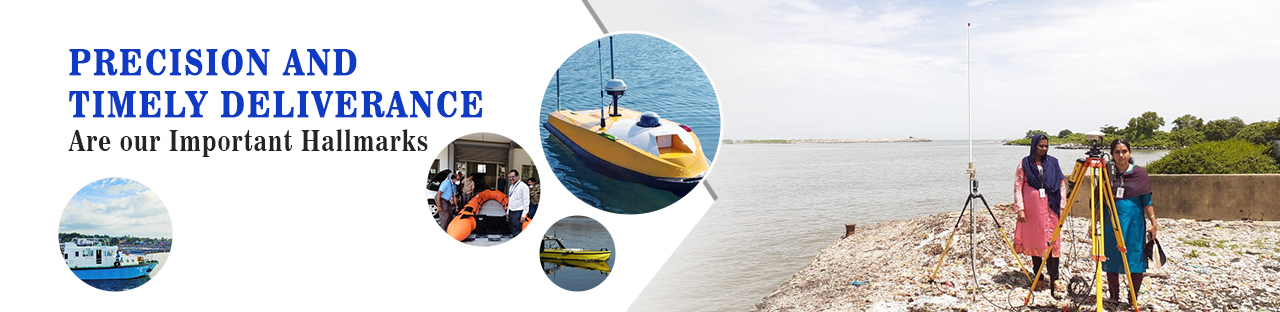
The Hydrographic Survey investigations consists of triangulation, coast lining on adjoining hinter land of the water mass, bathymetric observation, current observation of water at various depths, collection of water samples from various depths for various analysis, collection of sea bottom samples, determination of direction and velocity of water flow etc. The results of these investigations are presented by way of hydrographic charts both in digital and hard copy format. Such hydrographic charts give direct information on depth of overall water mass, underwater topography, contours, shore and land features and nature of bottom of water mass


Locate us
Office of The Chief Hydrographer
Hydrographic Survey Wing,
Aryankuzhi road,
Kamaleswaram.
Manacaud.P.O
Thiruvananthapuram - 695 009